
Course Information
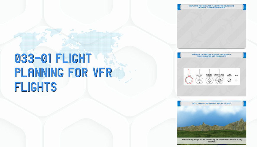
When planning a flight under VFR, it is important to consider the selection of the routes and altitudes to fly. Some of issues to take into account are; Classification of airspace, Controlled airspace, Uncontrolled airspace, Restricted areas, Minimum Safe Altitudes (MSA), VFR semi-circular rules, Conspicuous points and navigation aids. The airspace classes are fundamentally defined in terms of flight rules and interactions between the pilots and Air Traffic Control (ATC). When selecting a route, it is important to know the rules about the airspace classes. For instance, VFR flight in Class A is not permitted. In the controlled airspaces, ATC has the authority over all traffic. In uncontrolled airspaces like Class F and Class G, there are no ATC service provided; and therefore, a flight in any uncontrolled airspace must be under VFR only. Restricted areas are determined by the local authorities for safety or security concerns. When selecting a flight altitude, determining the minimum safe altitudes is very important. Because this minima allows adequate vertical clearance from nearby terrain and manmade obstacles for all flight operations. When selecting a flight altitude, it is also important to know VFR Semi-circular rules for avoiding a conflict between the aircraft moving in opposite directions. If an aircraft”s track is between 000º magnetic and 179º magnetic, it should maintain an altitude of an odd number of thousands of feet plus 500 feet (for example 5,500 feet). If an aircraft”s track is between 180º magnetic and 359º magnetic, it should maintain an altitude of an even number of thousands of feet plus 500 feet (for example 4,500 feet). When planning a flight, it is a common method to look at the relevant chart and pick out some conspicuous points such as geographical or manmade features to refer to during the flight. The navigation aids are always necessary in flight planning and flight monitoring for a safe and economical flight. Especially when finding your way in unknown geographical regions, safety demands spatial orientation which can be provided by navigation aids. Courses are constantly monitored and updated when major changes in authority documentation is released.
Content of the Course
| Slide | 18 | Duration | 0:16:31 | Exam | No |
|---|
- COURSE START
- VFR NAVIGATION PLAN / ROUTES, AIRFIELDS, HEIGHTS AND ALTITUDES FROM VFR CHARTS
- Courses And Distances From Vfr Charts
- Aerodrome Charts And Aerodrome Directory
- Communications And Radio Navigation Planning Data
- Completion Of Navigation Plan
- COURSE END