
Course Information
When selecting the preferred airways or routes certain relevant data should be reviewed such as: altitudes and flight levels, standard routes, ATC restrictions, shortest distance, obstacles and any other relevant data. Information regarding the altitudes, flight levels, obstacles and any other relevant data is given on the chart or the table. Sometimes an airway or route can not be selected because of restriction by ATC. These restrictions are used to limit traffic volume on routes to a safe level. Use the relevant chart to determine the shortest route for your flight from different alternatives. When planning a flight from A to B, and two alternatives are reviewed, select the shortest one by totaling all distances on the the relevant legs and select the route with the least distance. Courses are constantly monitored and updated when major changes in authority documentation is released.
Content of the Course
| Slide | 24 | Duration | 0:22:49 | Exam | No |
|---|
- COURSE START
- FLIGHT PLANNING FOR IFR FLIGHTS / IFR NAVIGATION PLAN / AIRWAYS AND ROUTES
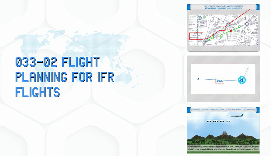
- Courses And Distances From En-Route Charts
- Minimum Altitudes
- Standard Instrument Departures (Sids) And Standard Arrival Routes (Stars)
- Instrument Approach Charts
- Communications And Radio Navigation Planning Data
- Completion Of Navigation Plan
- COURSE END